Parcel + zoning
Use county parcel and planning tools to separate assessor information, zoning and legal-lot questions.
Sacramento County land can range from rural acreage to infill and development parcels. That makes parcel configuration, zoning, utility service, maps, entitlement status and infrastructure especially important to the marketing story.
The goal is not to make every parcel sound perfect. It is to make the important facts visible early and identify the unknowns that still need verification.
Use county parcel and planning tools to separate assessor information, zoning and legal-lot questions.
For development land, identify what is actually on site versus merely nearby: water, sewer, electric, road improvements and other obligations.
Assessor/GIS parcel lines are useful research tools but are not substitutes for recorded maps, deeds or surveys when legal boundaries matter.
If maps or improvement plans have been approved, state exactly what exists and what work remains rather than using a broad “development ready” label.
These public property records connect this area page to real Land Pro activity. Availability and terms should always be confirmed on the property page.
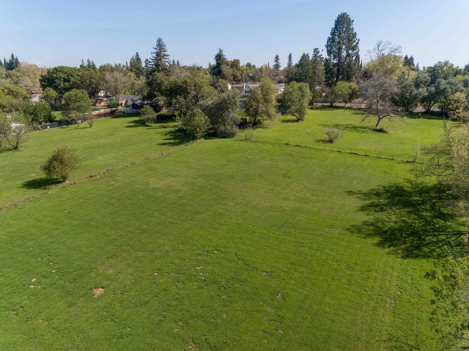 Pending
6600 Rosa Prado Ct, Orangevale, CA 95662
These links are provided as research starting points. County GIS and assessor information can be useful without establishing legal boundaries, buildability, access rights or permit approval.
Parcel count, zoning, entitlement or map status, infrastructure, access, improvement obligations and supporting documents should be stated separately and precisely.
County parcel/GIS tools are excellent research aids, but legal boundary questions should be verified from recorded documents and, when needed, professional survey work.
Yes. Send what you have. The Land Review is designed to reveal missing information rather than require a perfect file before you contact us.
If you own vacant or development land in Sacramento County, The Land Pro can organize the parcel and infrastructure story before marketing begins.
Give us what you know. We will start by separating supported facts from unanswered land questions.